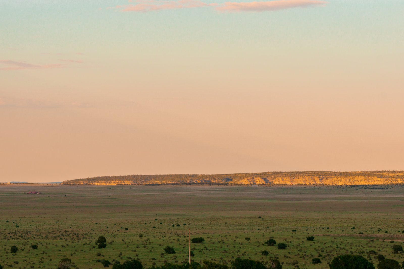
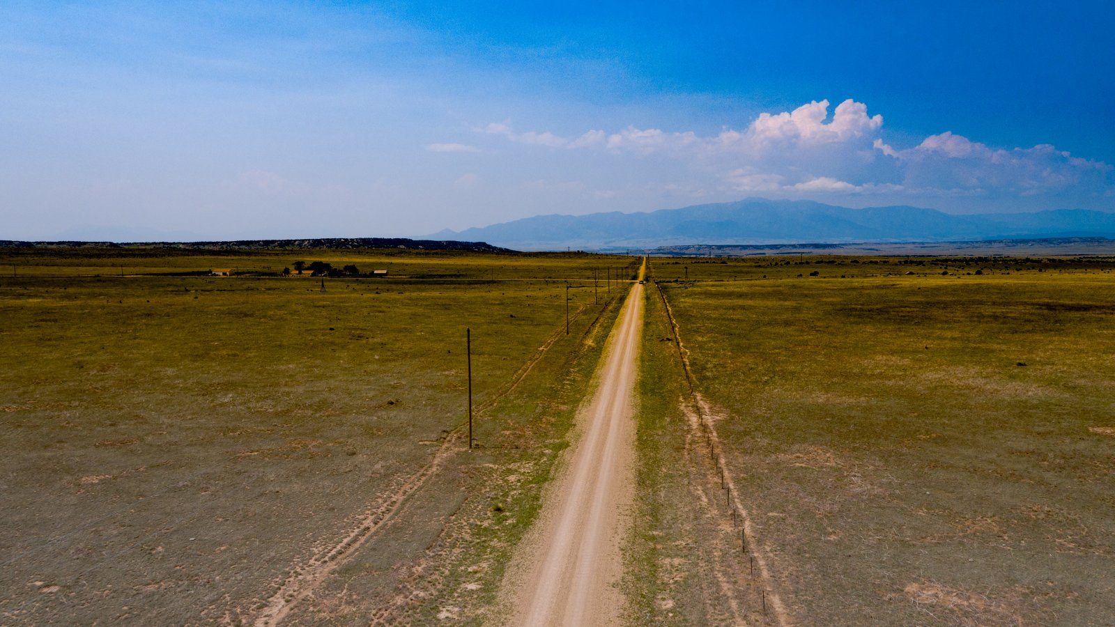
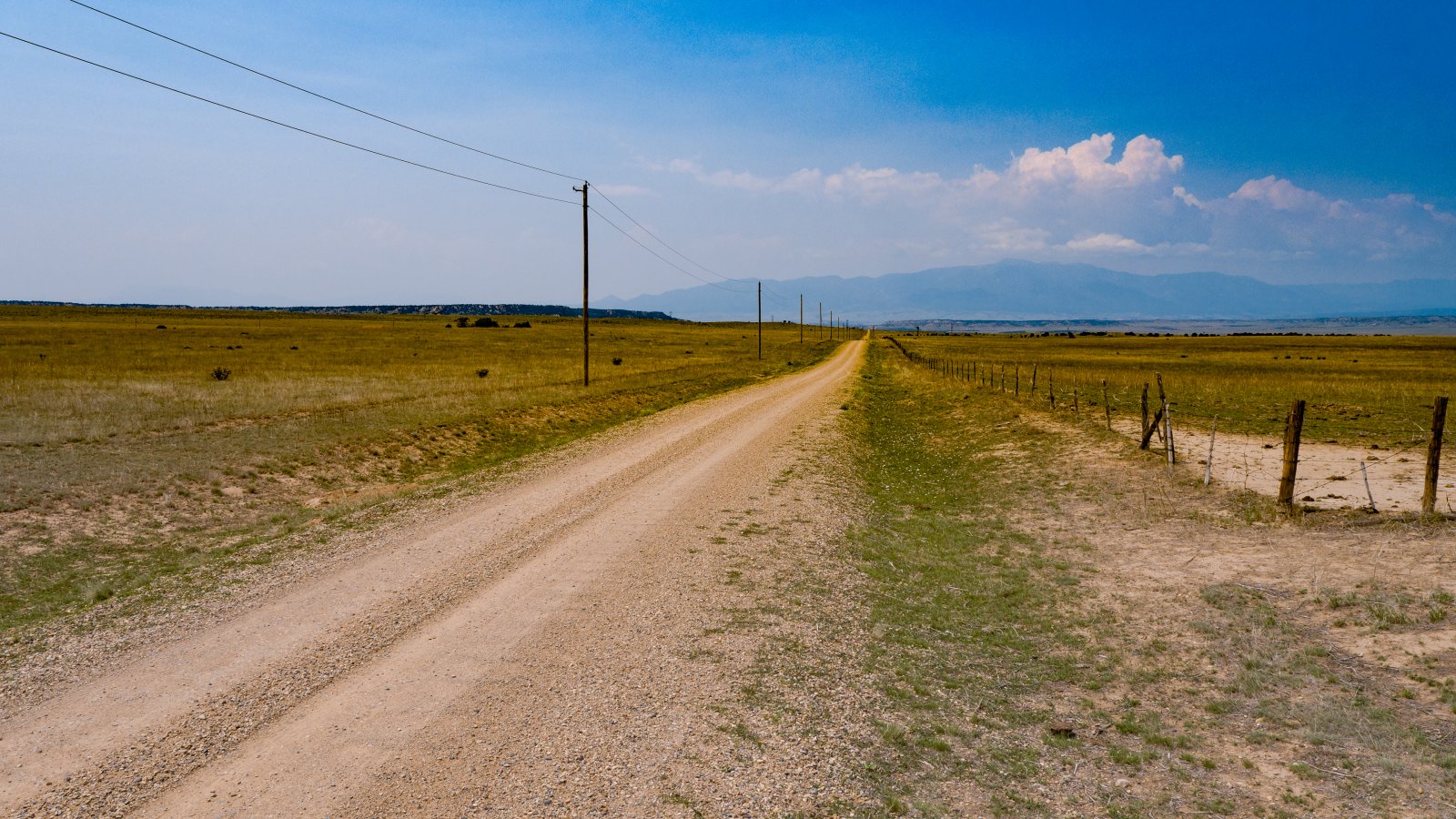
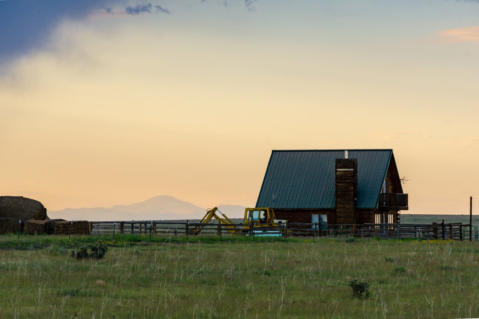
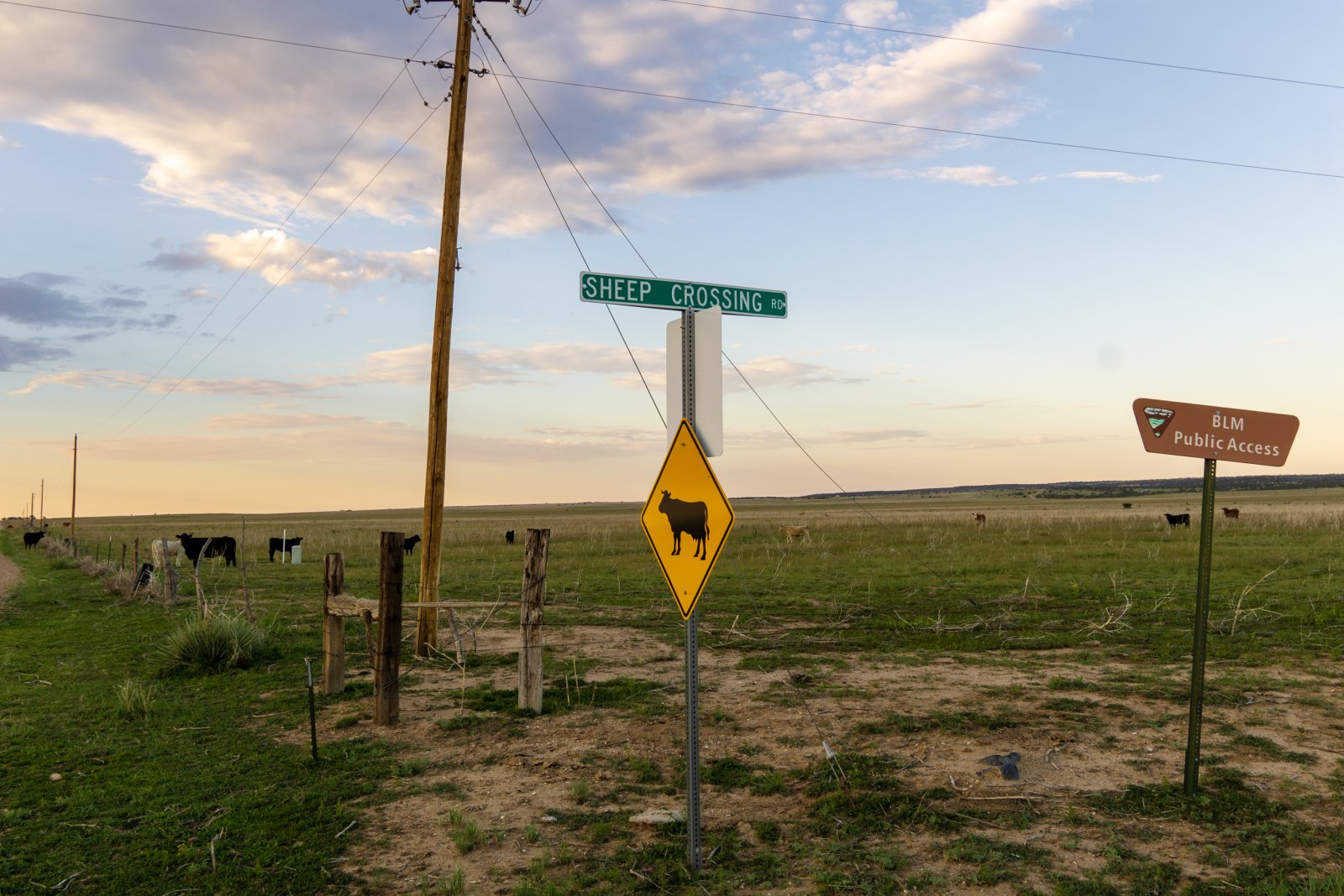
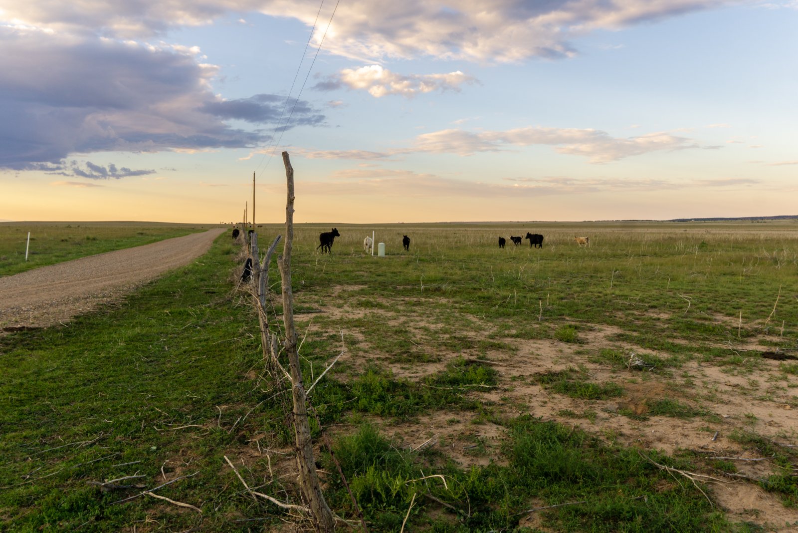
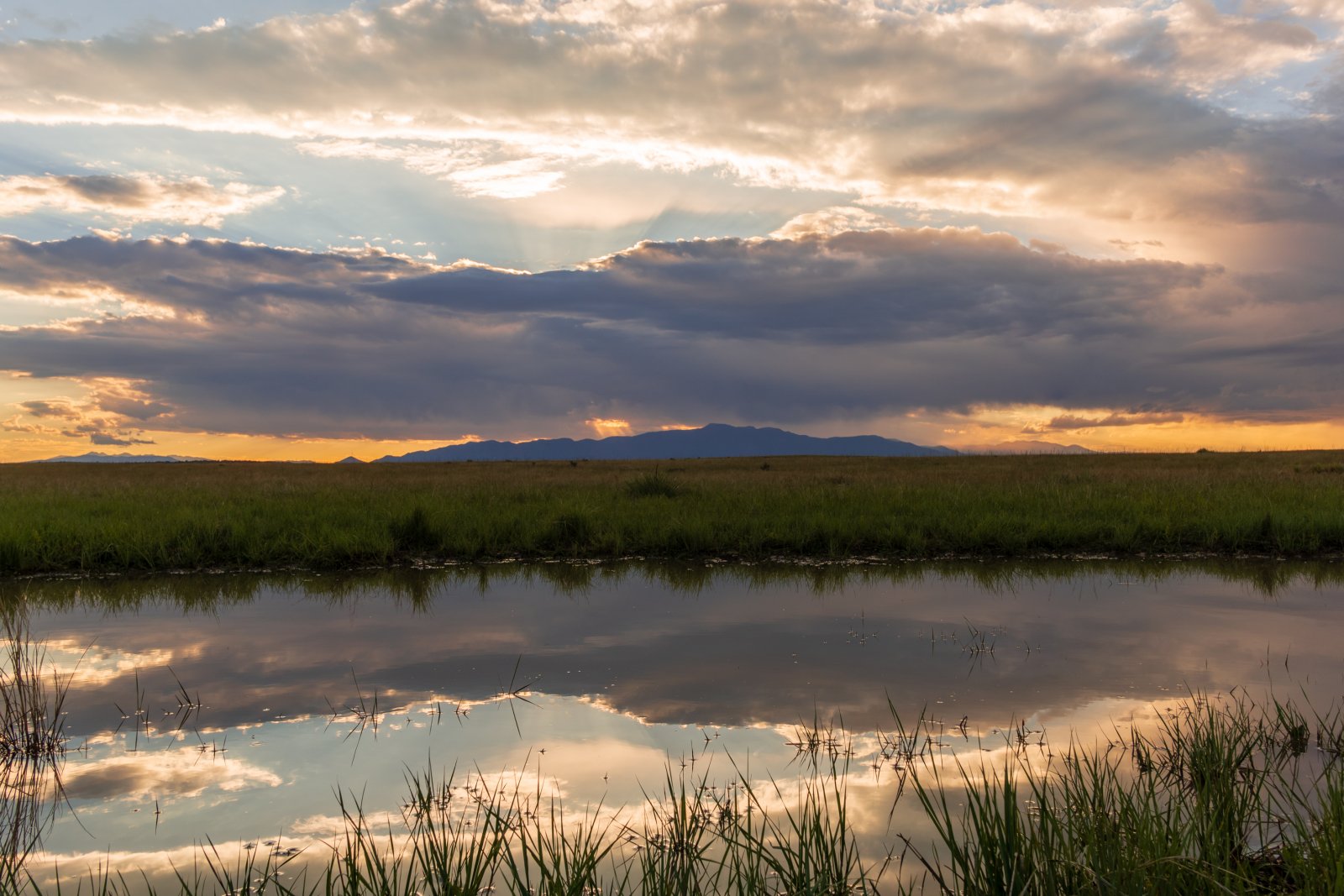
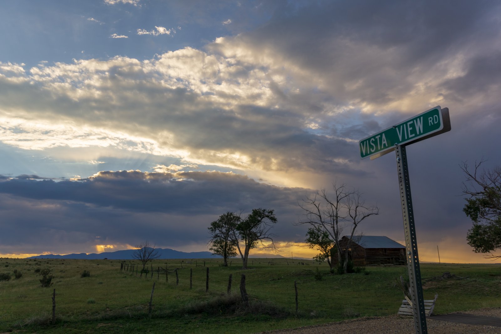
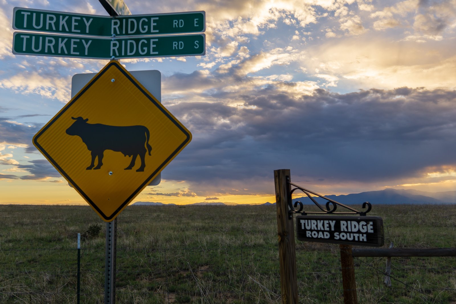
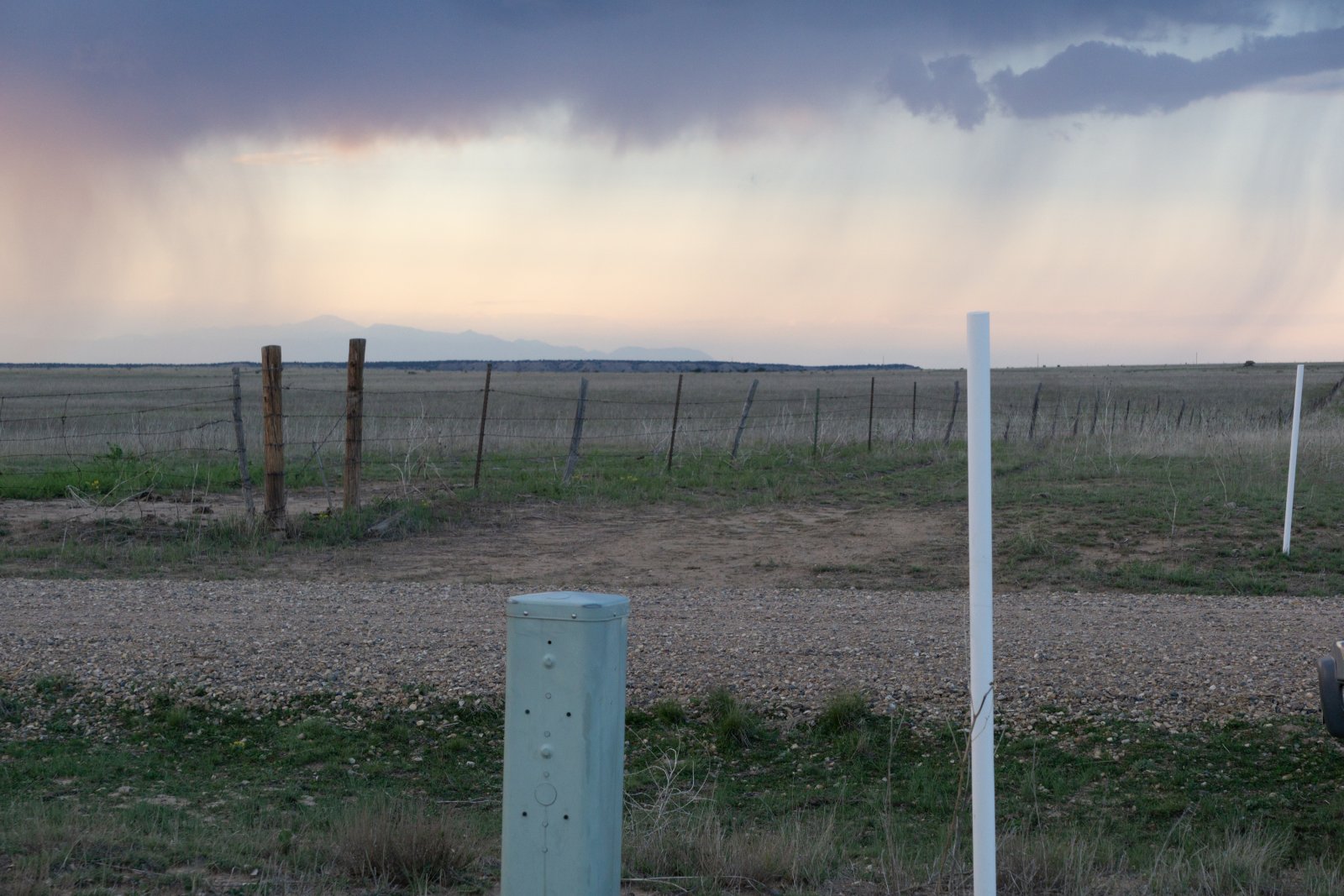
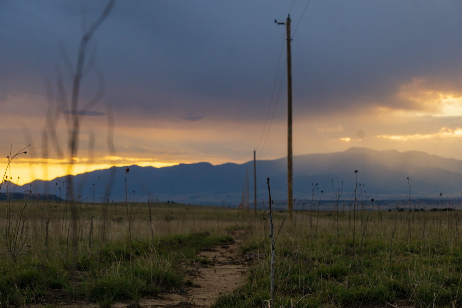
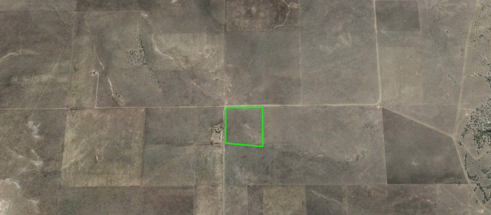
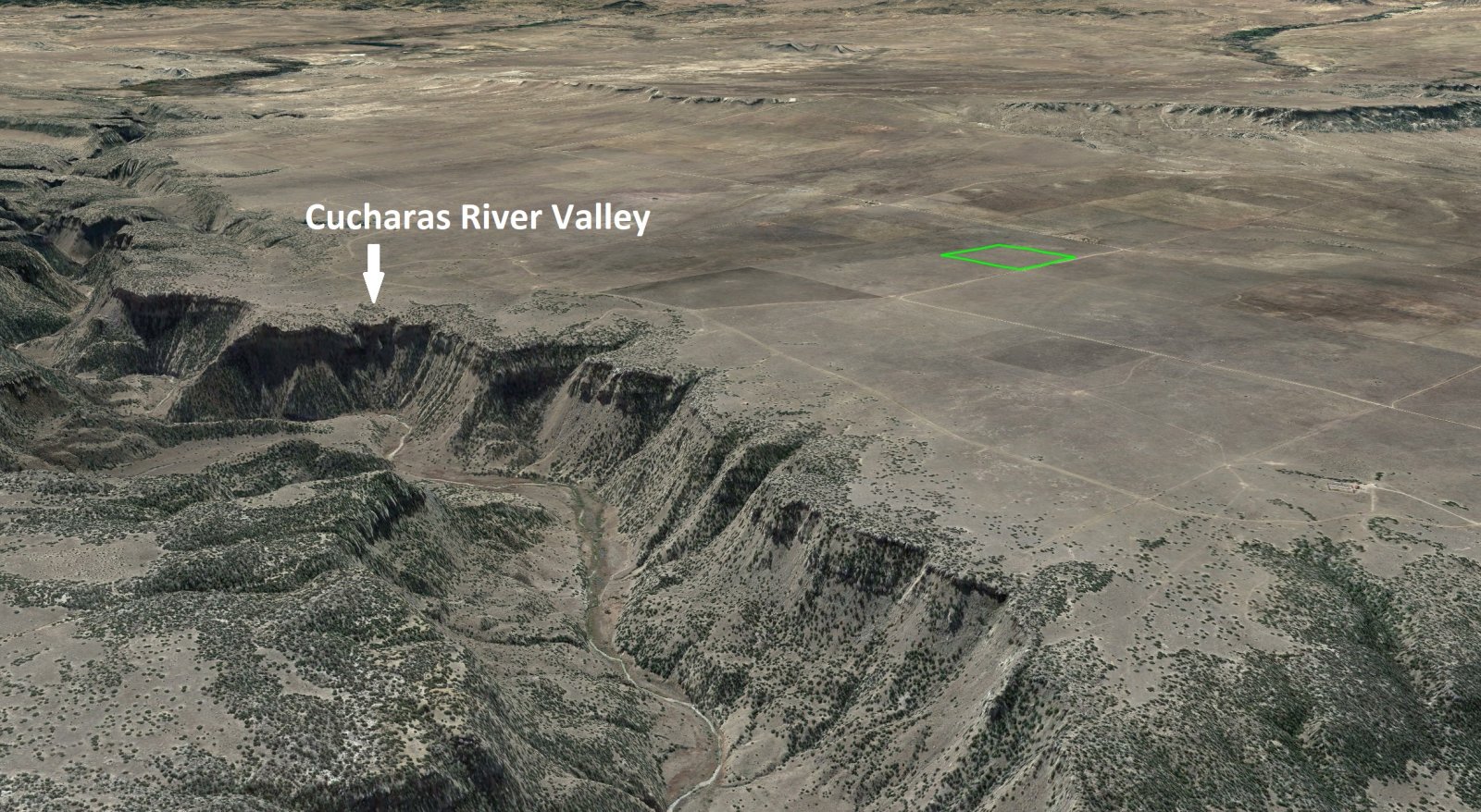
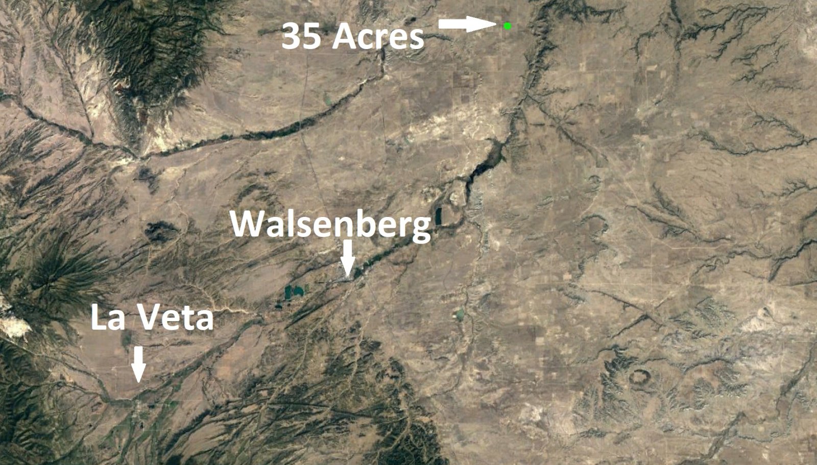
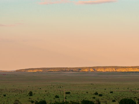
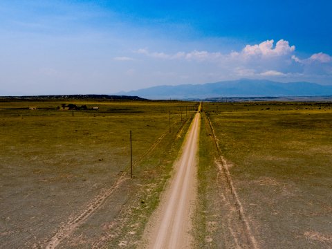
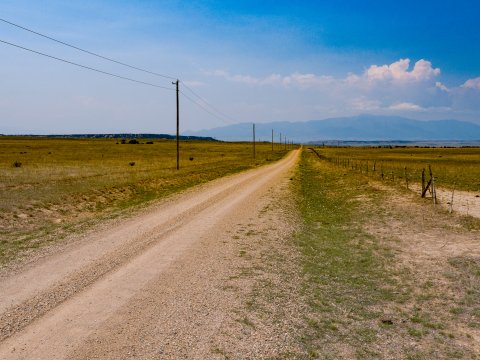
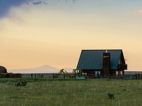
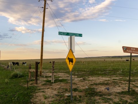
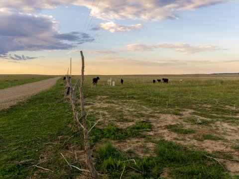
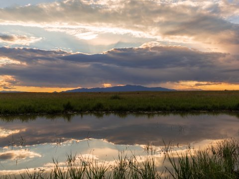
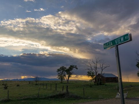
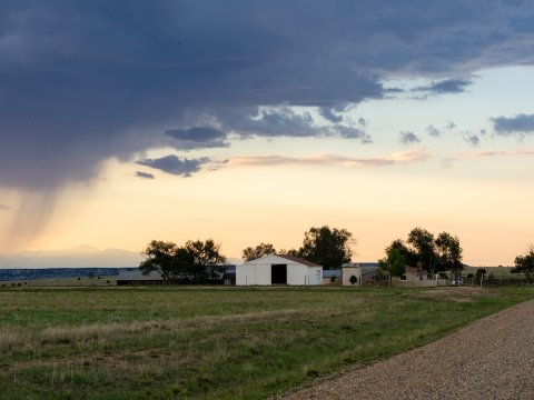
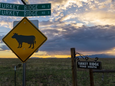
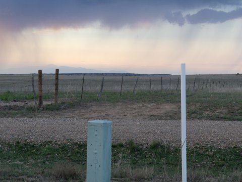
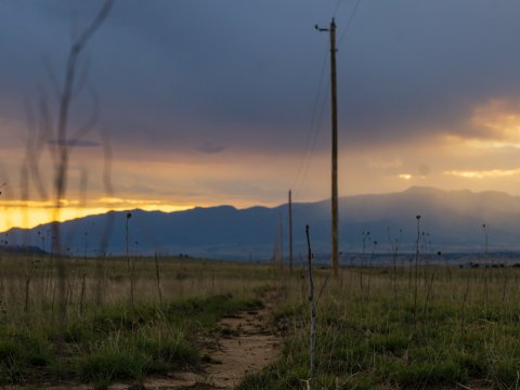
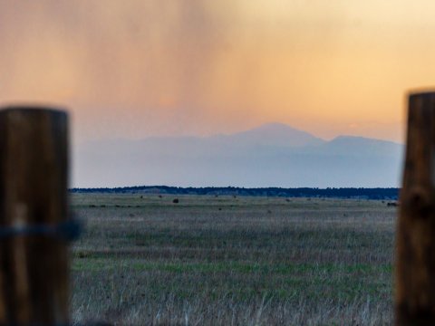
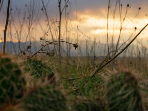
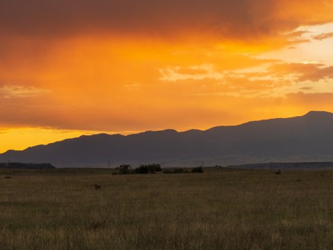
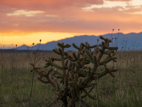
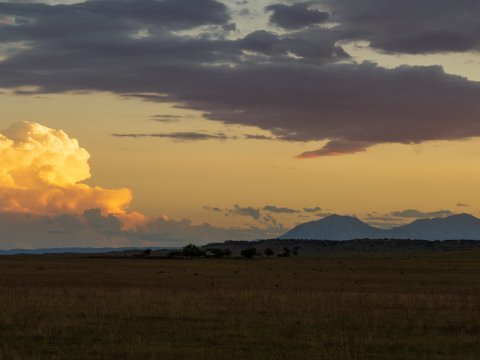
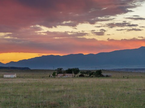
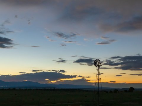
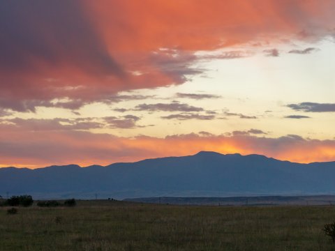
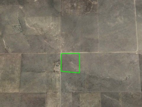
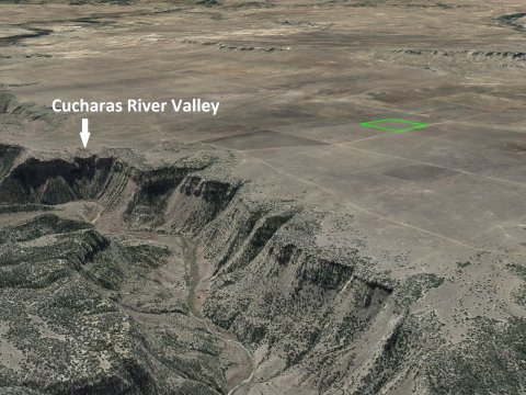
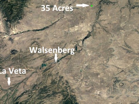
35 Acre Ranch with over 2,00 feet of road frontage along the entire Northern and Western boundary. There are electricity lines alone the northern border.
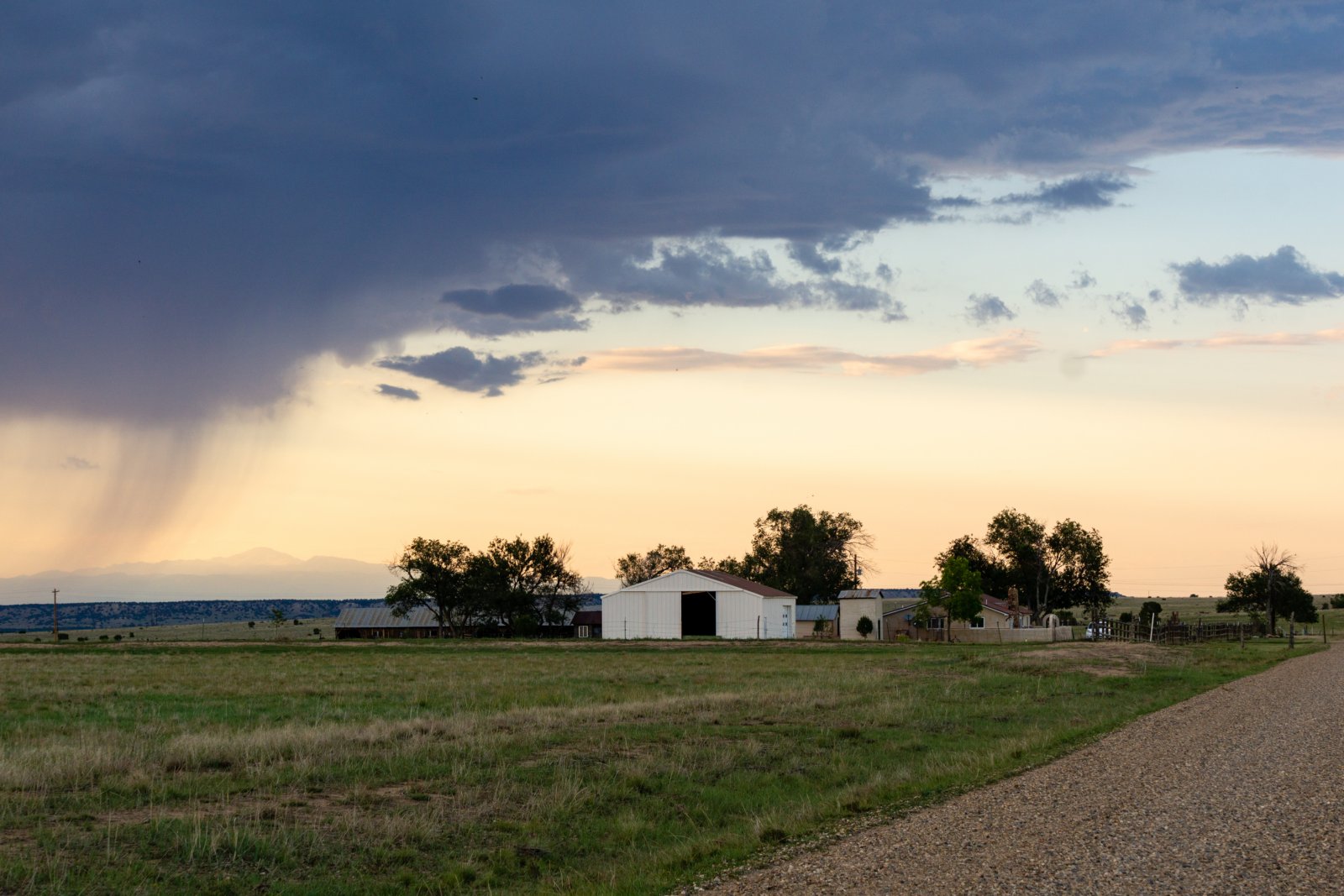
Several ranches are nearby making a go of it but this is still a very rural area and comes with tons of privacy.
Check out our flyover video:
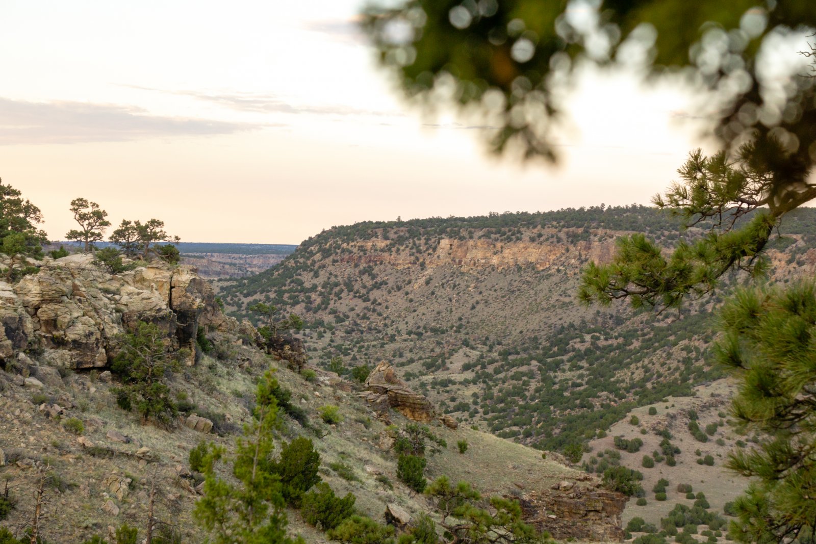
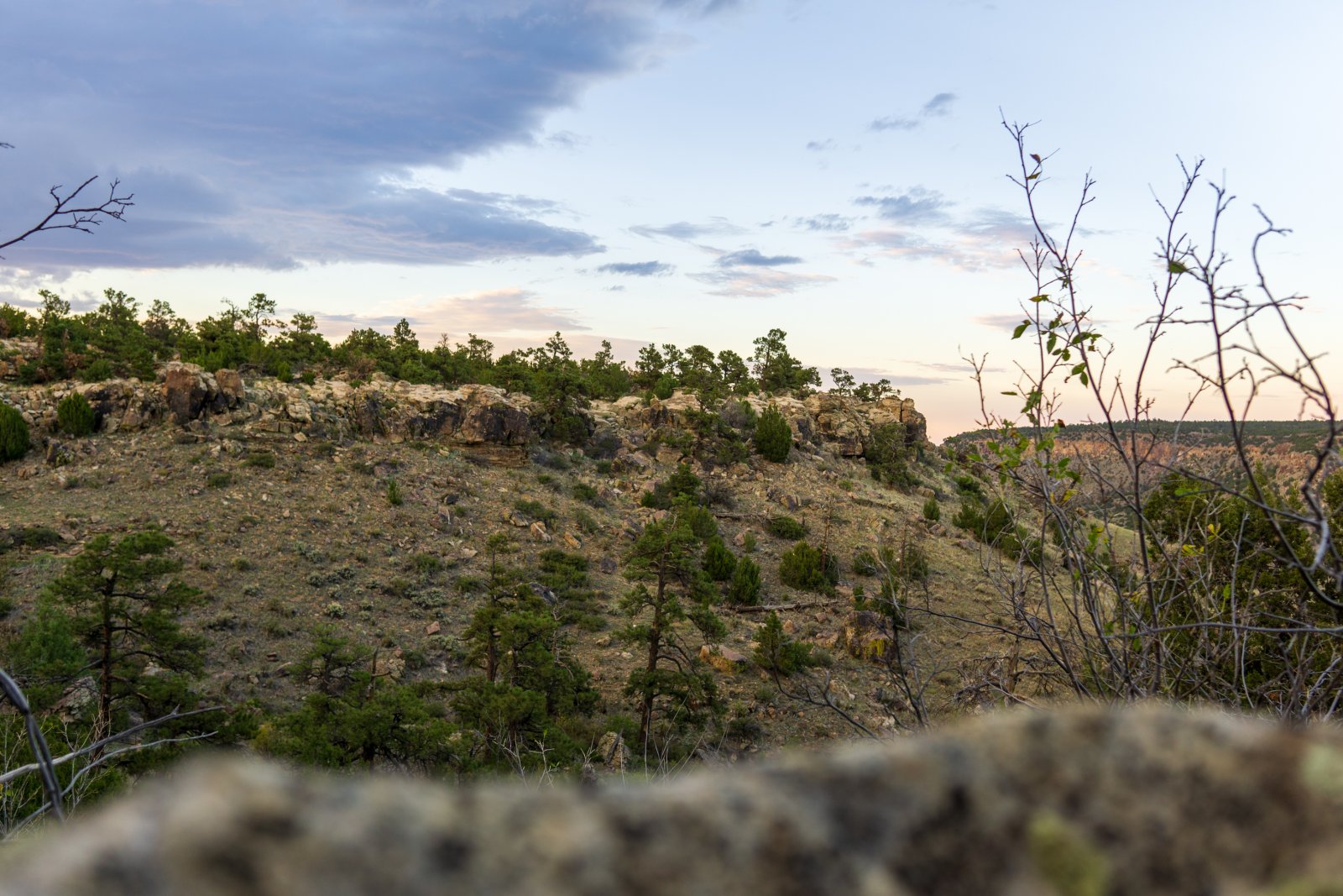
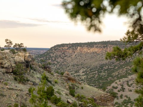
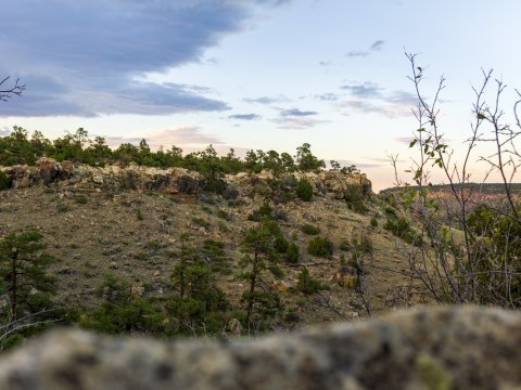
The Cucharas River Canyon is 1 mile to the east.
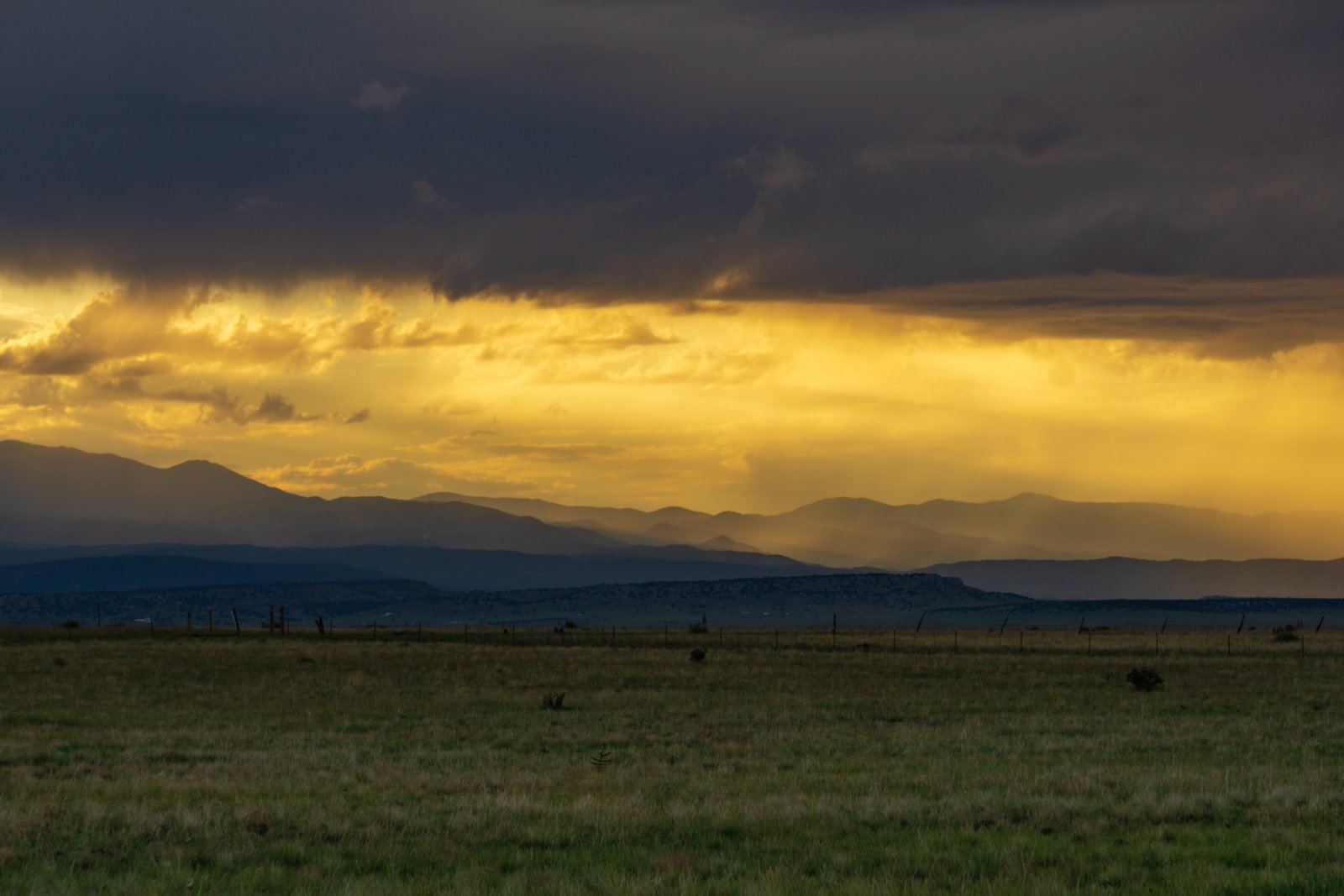
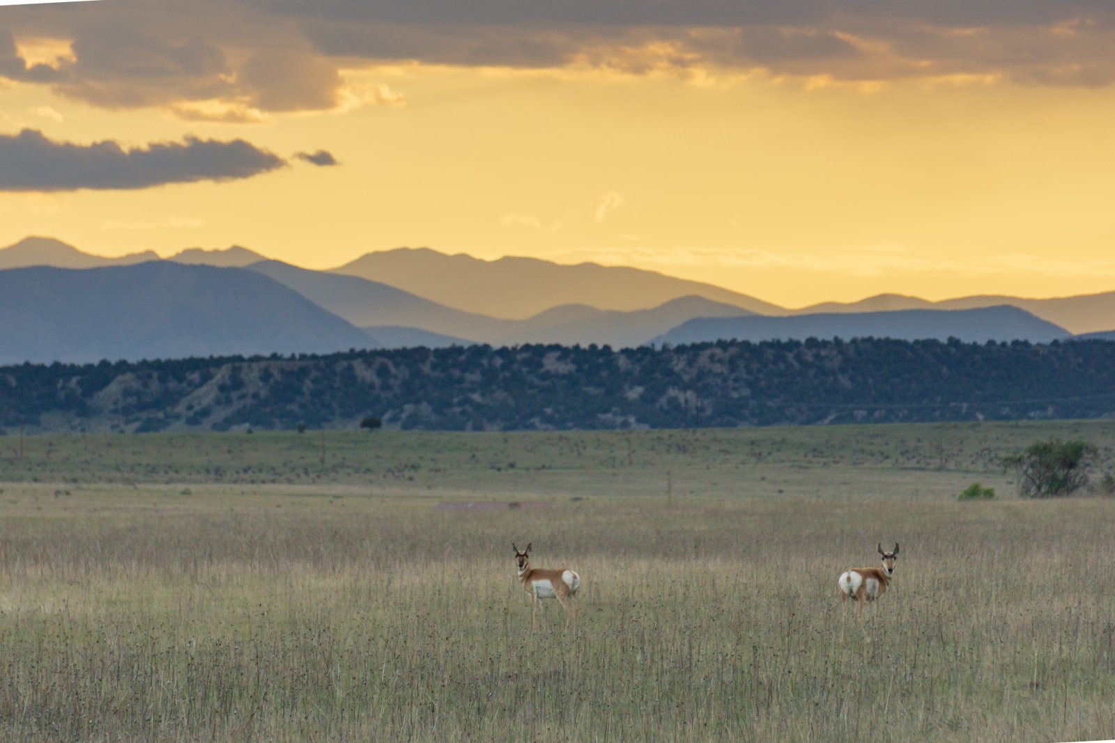
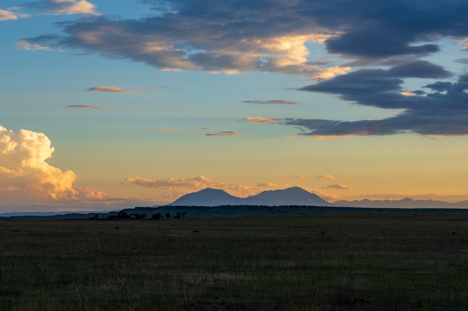
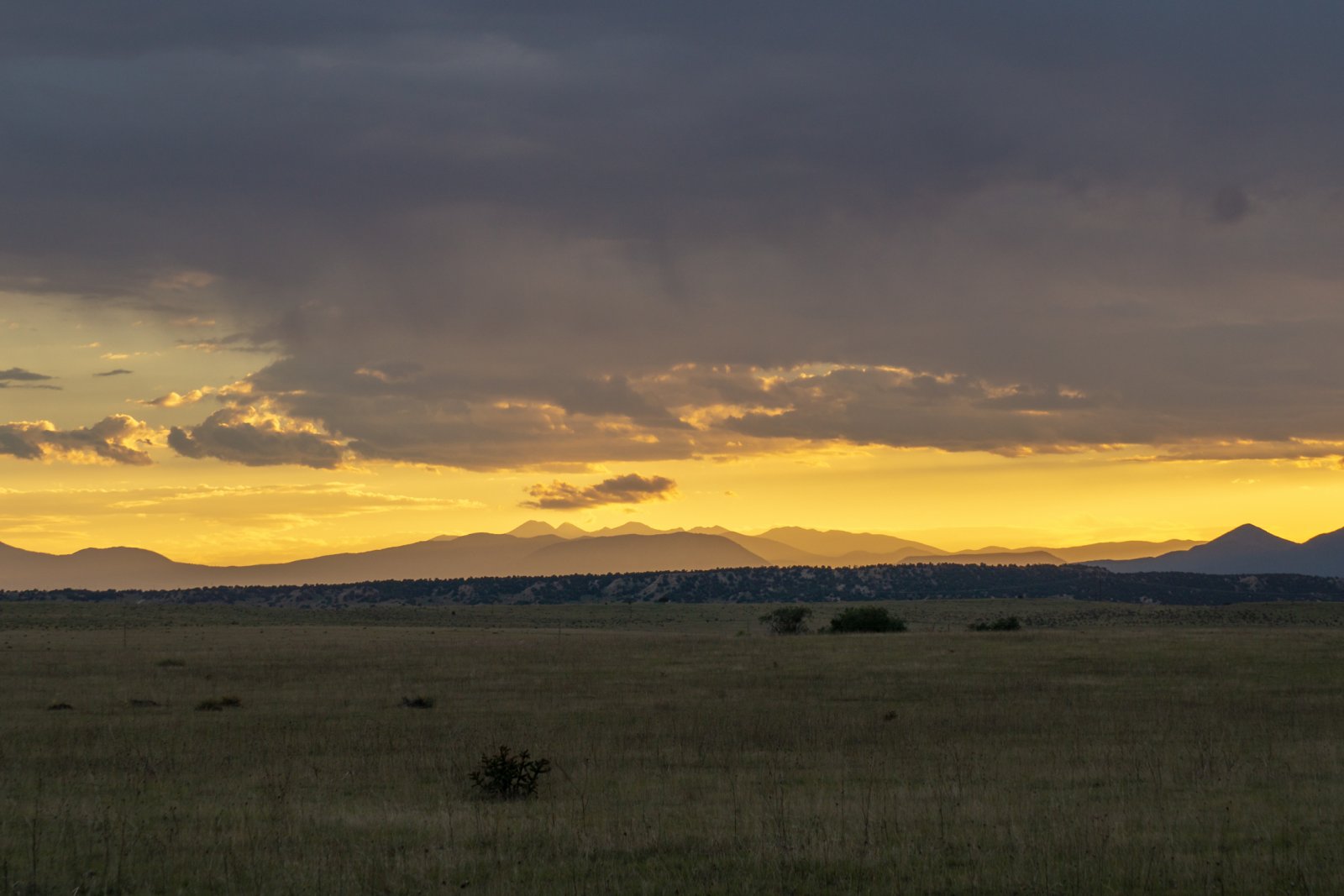
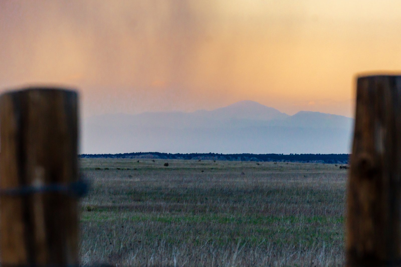
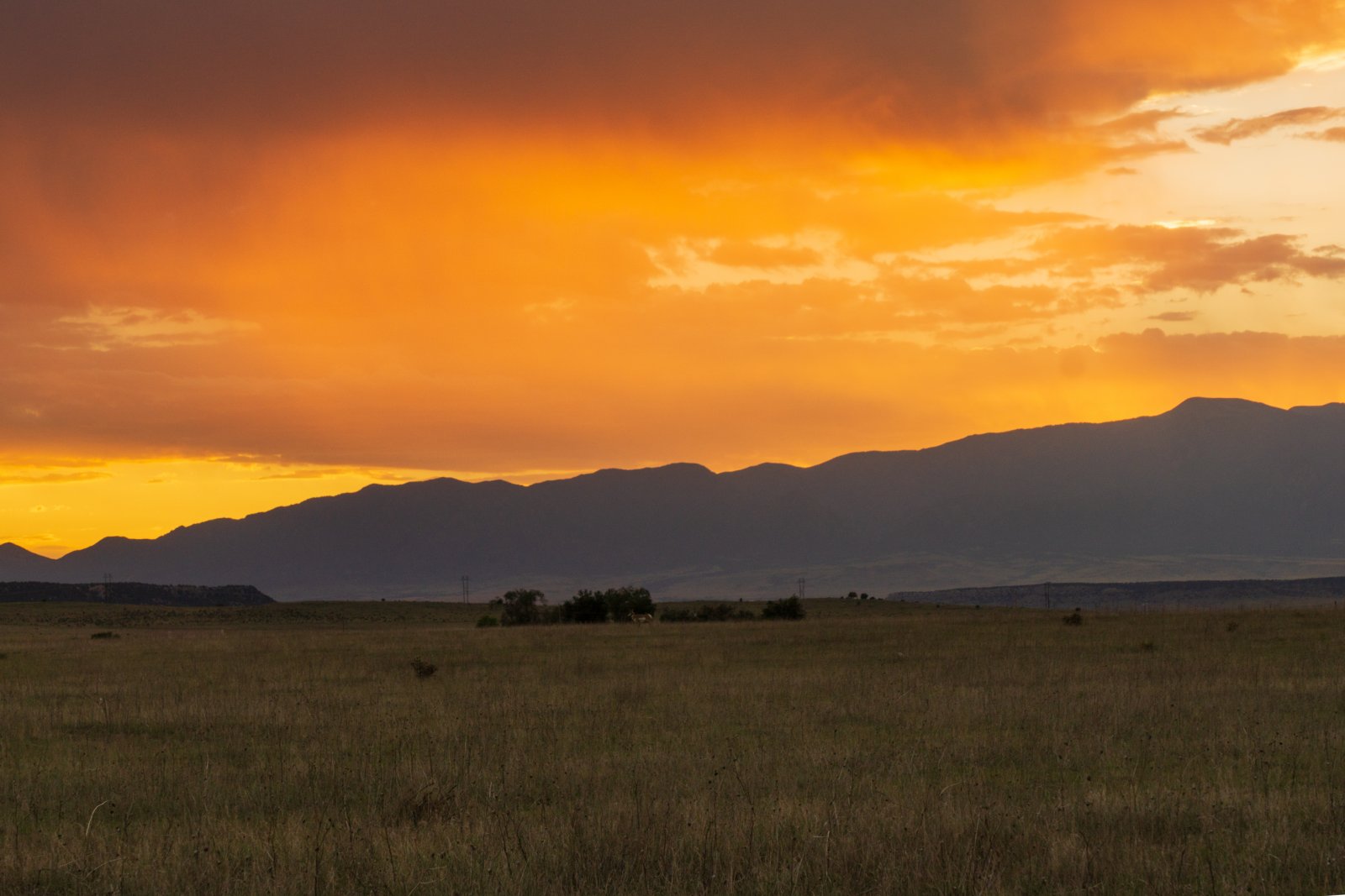
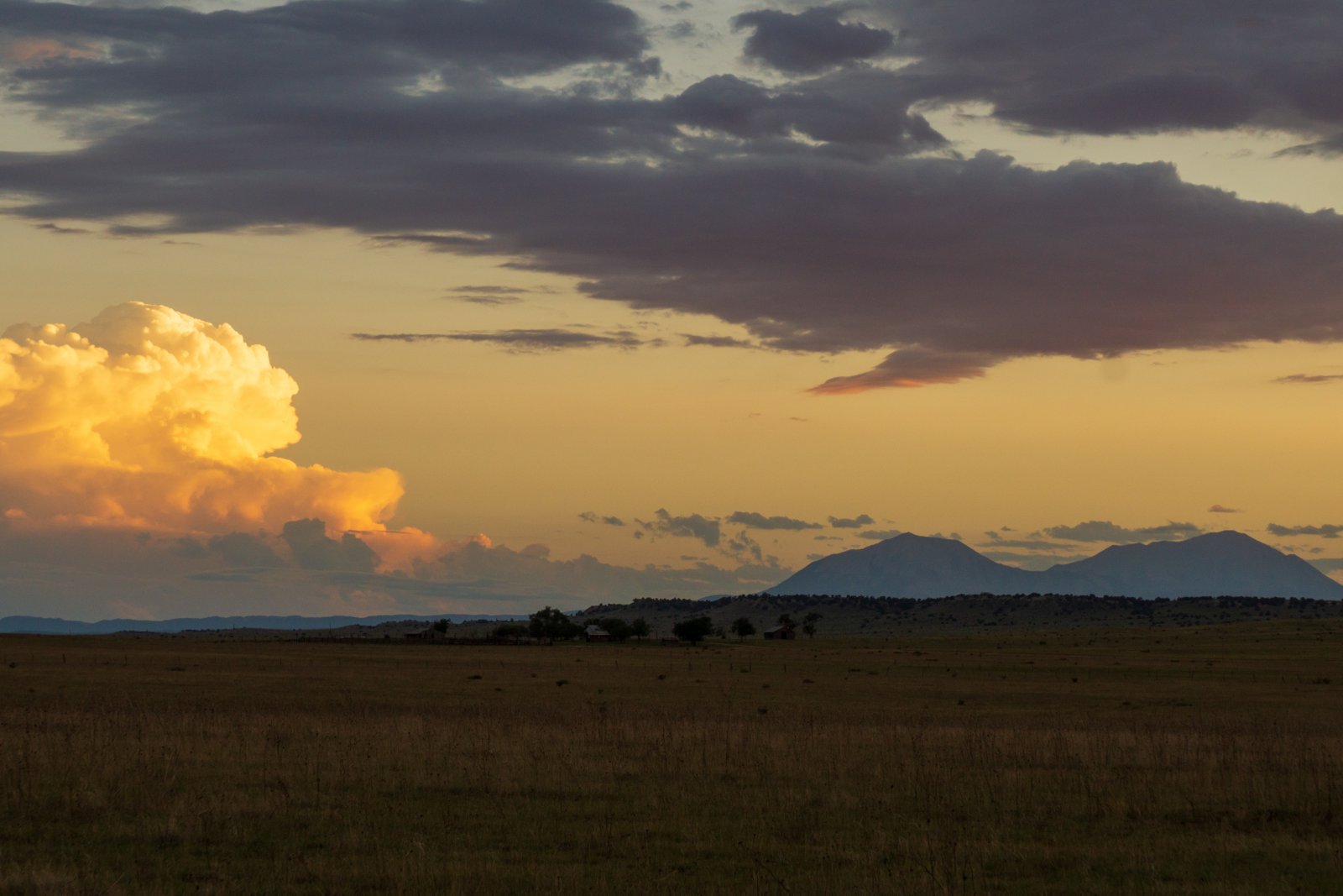
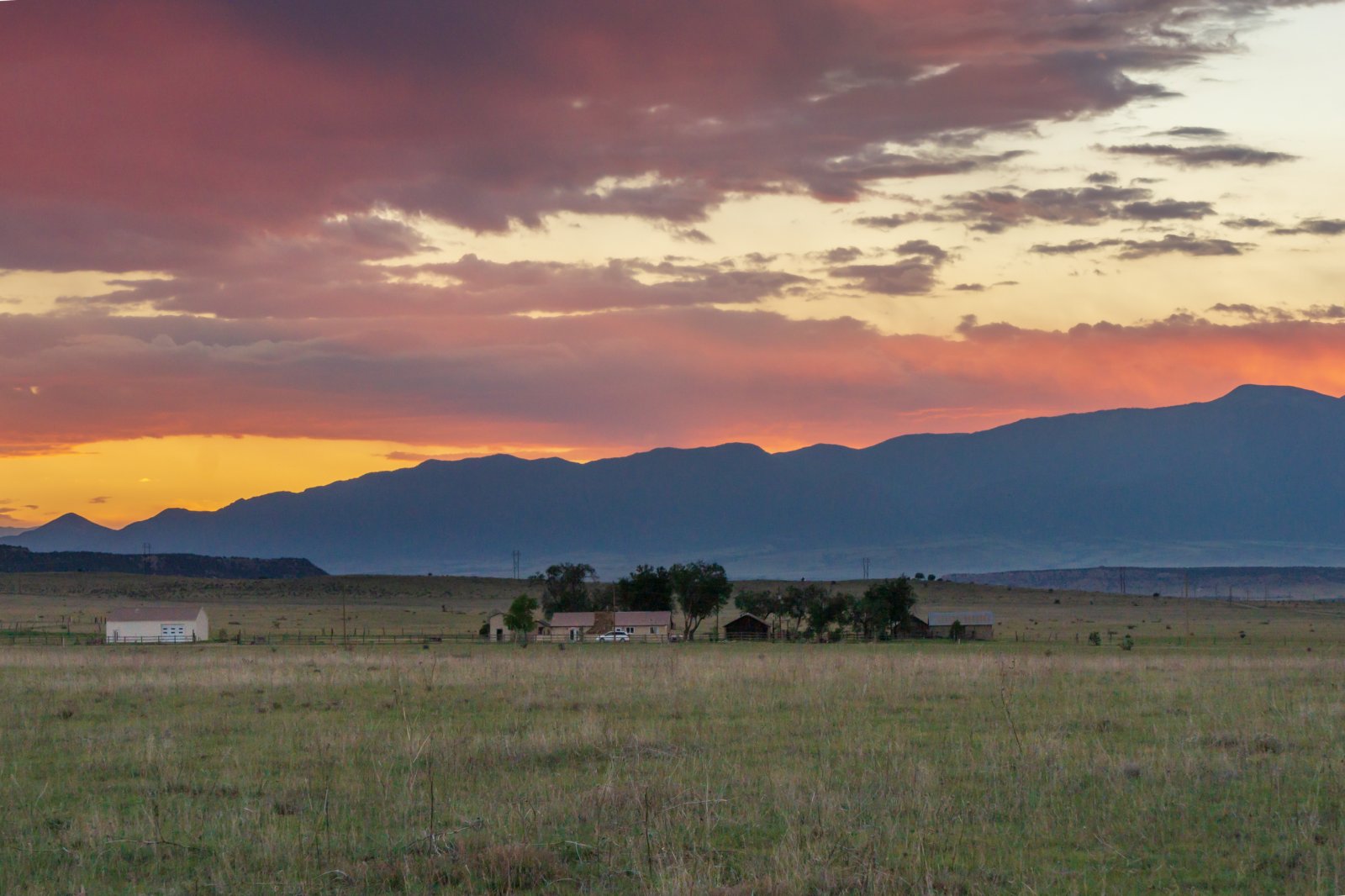
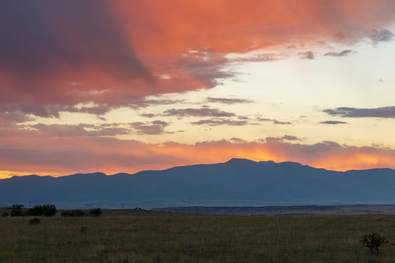
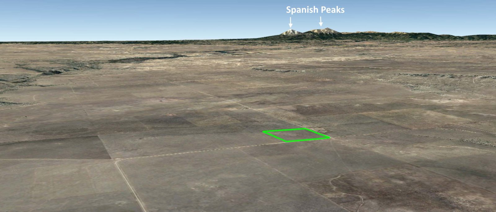
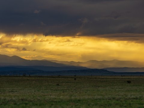
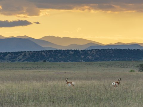
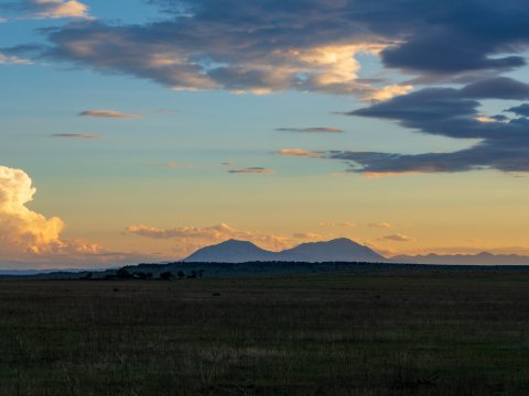
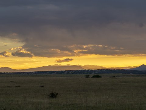
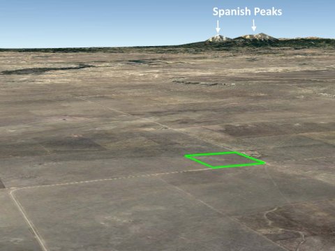
Views on clear days are extremely impressive as you can see all the way to the Spanish Peaks. The Sangre de Cristo, Silver and Greenhorn Mountains are also visible.
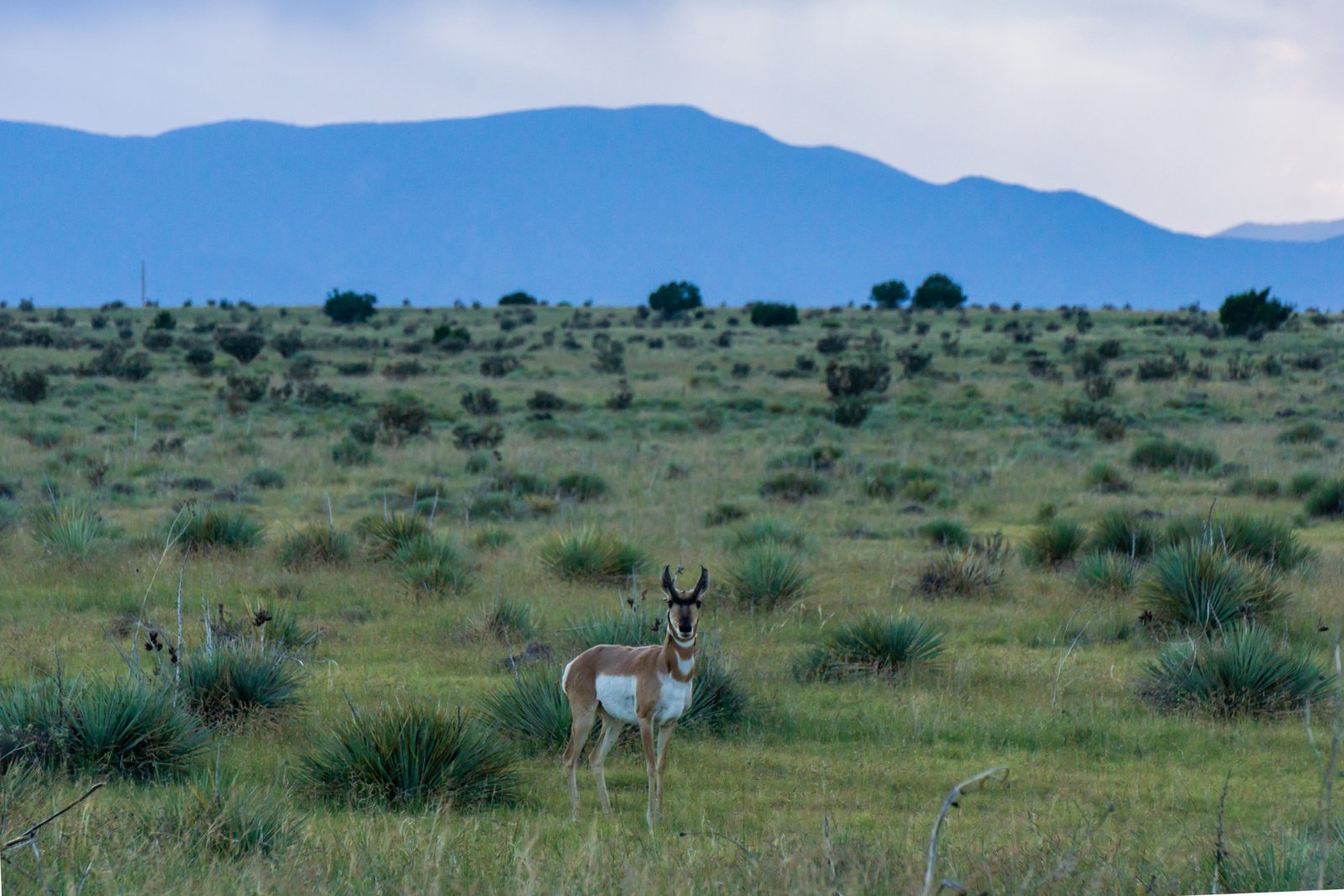
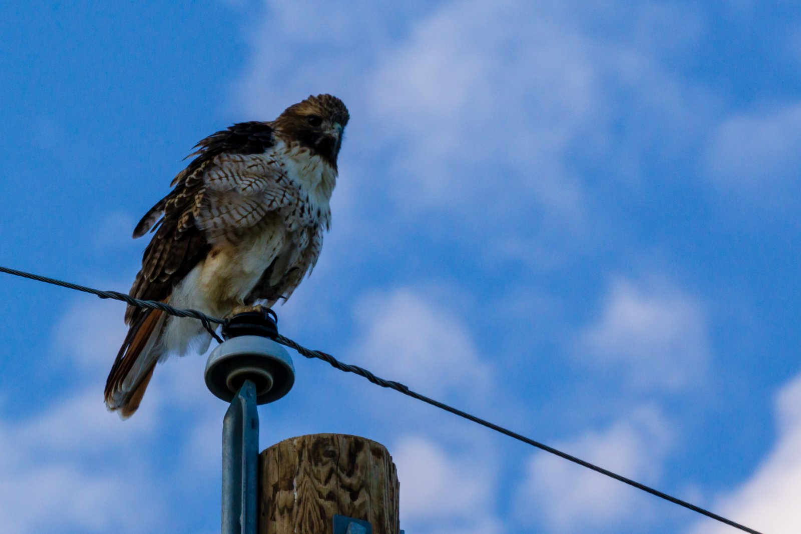
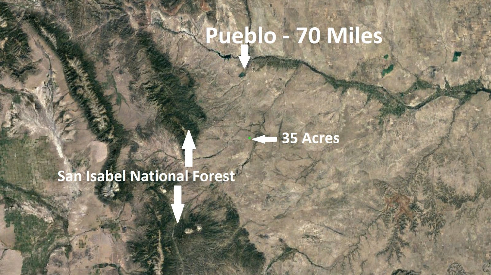
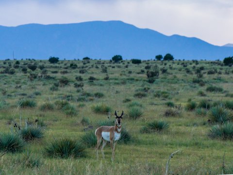
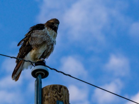
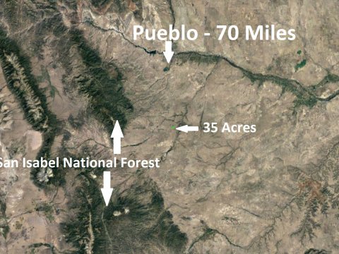
Recreational activities are plenty in this area. You can hunt, rock climb, hit the trails, fly your drone into the canyon, take photos of Elk, Bears, Pronghorn and other animales. You can also take advantage of the area national parks. San Isabel National Forest is a little over an hour drive. Lathrop State Park is near Walsenburg and has two lakes.
Camping is allowed on a temporary basis. Permanent living must be accompanied by a permitted site built, double-wide or manufactured home with septic. RV’s and trailers are not considered permanent dwellings.
Large animals are allowed and must be fenced. Please check on limits.
Year round temperatures range from highs of 88 in July to highs of 47 in December. Temperatures can dip below freezing in the winter months. Snowfall is most likely in March with snowfall average of about 18 inches. The rainiest season occurs in July and August and you can expect about 2 inches of rain each month.
1,200 square feet minimum for site built homes.
1,000 square feet minimum for double-wide manufactured / mobile homes.
Electricity is provided by San Isabel Electric
CenturyLink provides telephone & DSL Internet service
High-Speed Internet is available through HughesNet
Cable is available through DirecTV
Search Well logs
Search Well Permit Information
Turkey Ridge Ranch POA
County: Huerfano
APN: 393964
Legal Description: Lot 108a Turkey Ridge Ranchphase #2
Size: 35 Acres
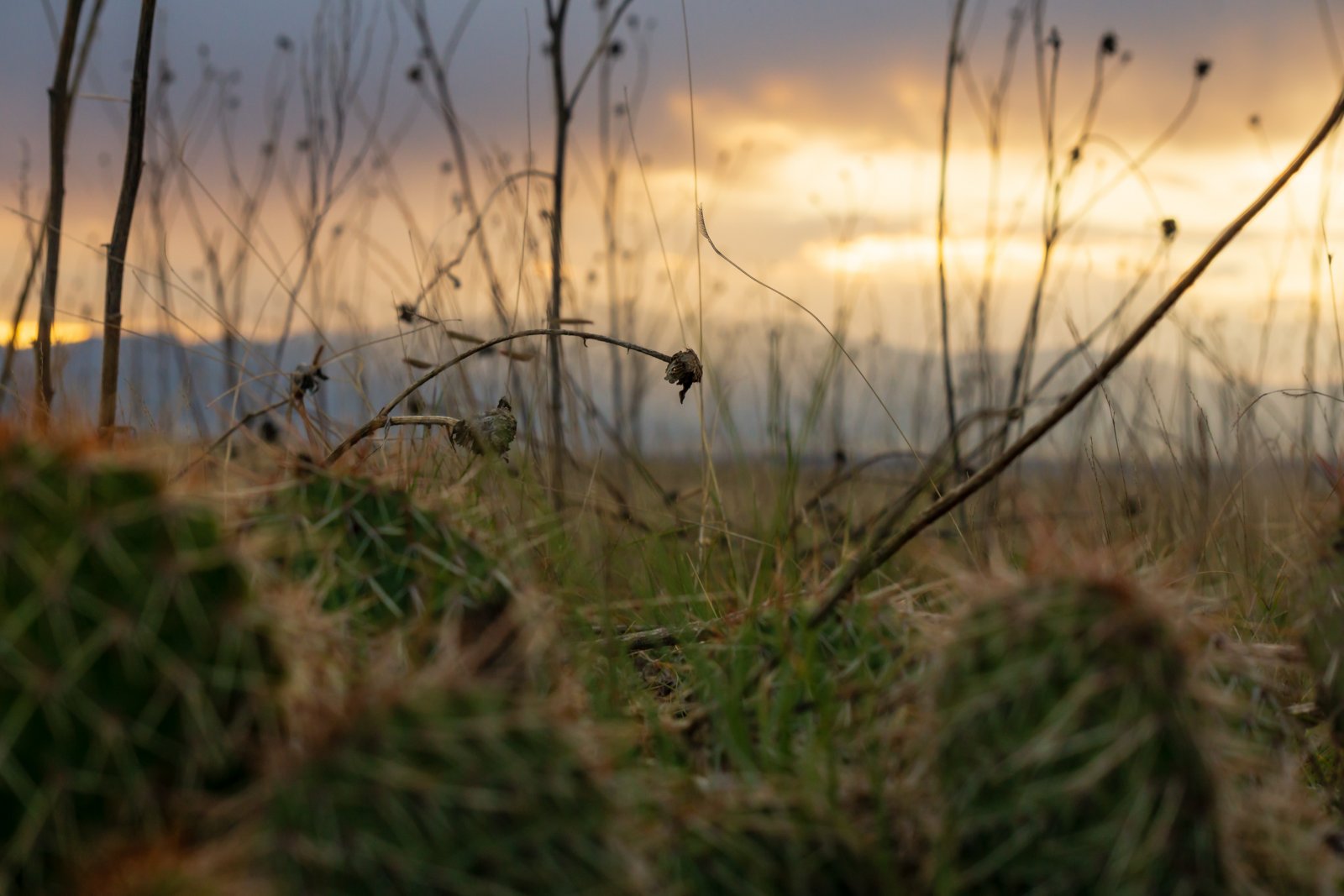
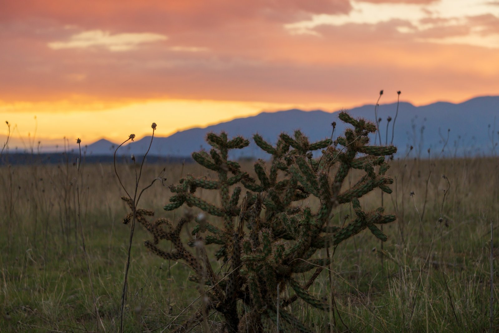
Terrain: Flat, grass mix
Elevation: 5,850 ft
Access: County Dirt Road
Approximate GPS:
NW Corner
37°50’55.74″N,104°36’30.32″W
SW Corner
37°50’43.89″N, 104°36’30.28″W
SE Corner
37°50’42.64″N,104°36’15.10″W
NE Corner
37°50’55.75″N, 104°36’15.01″W
Water: Dig a well
Electricity: San Isabel Electric
Septic: Needed if you build
Conveyance: Warranty Deed
Over 6,000 Acres of BLM Land 1 mile east of the property. Enjoy the beauty of the Cucharas River Canyon.
Approximate Distance to Nearby Cities & Points of Interest
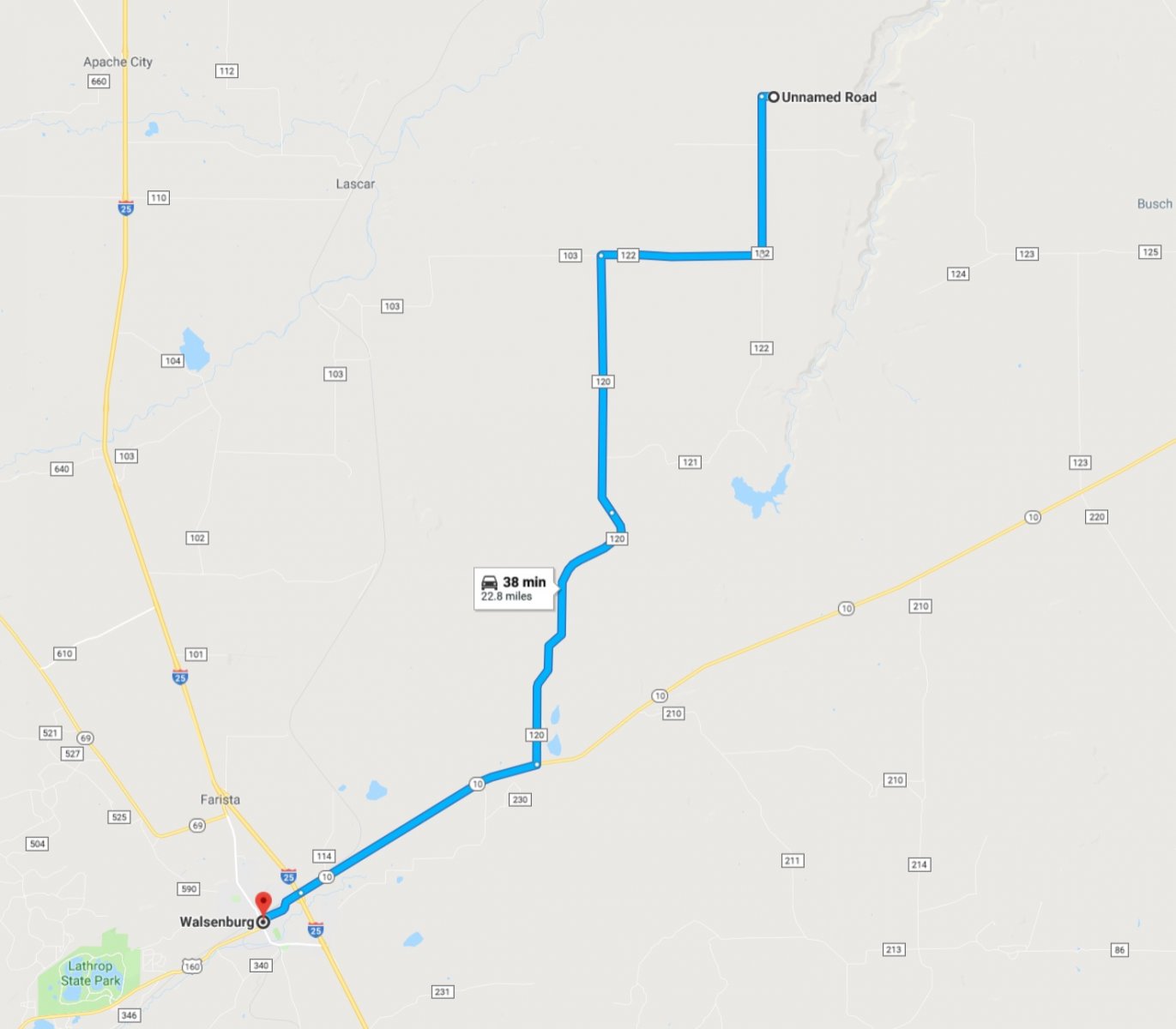
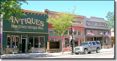
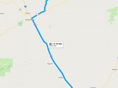
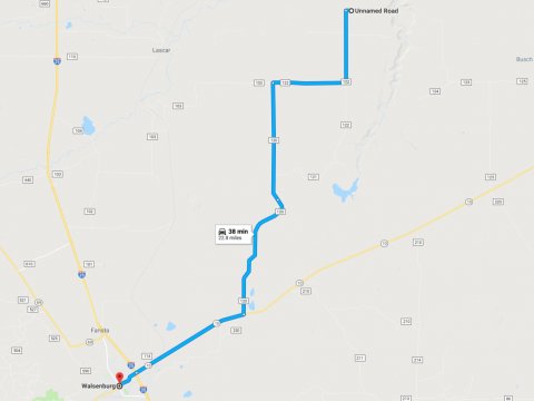
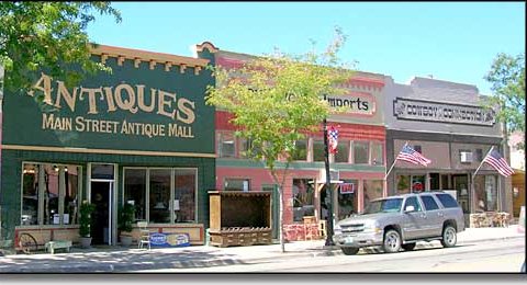
40 minutes to Walsenburg, CO : Population 3,200
40 minutes to the Lathrop State Park
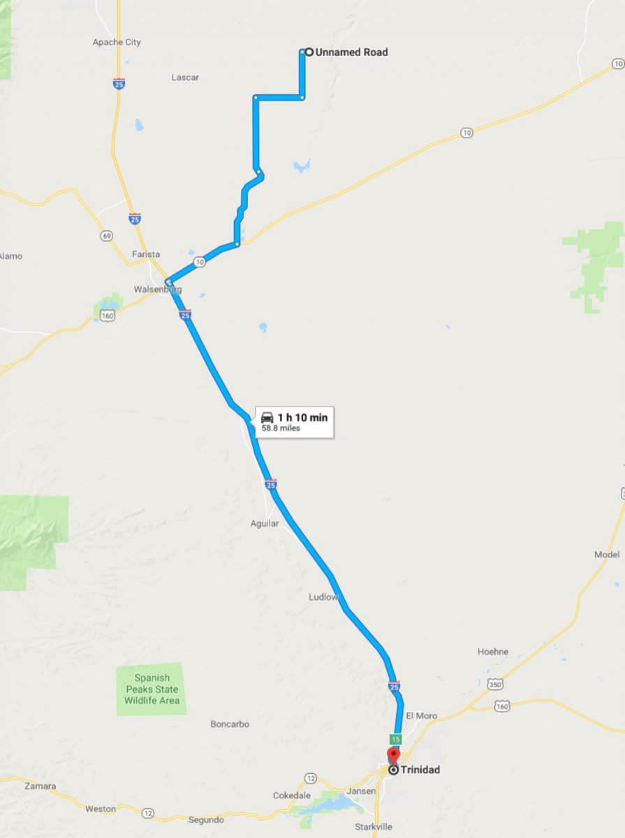
1 hour to Trinidad, CO : Population 9,200
1 hour & 20 minutes to Pueblo, CO : Population 108,000
2 hours to Colorado Springs, CO : Population 440,000
3.5 hours to Denver, CO : Population 650,000
Find the property on Google Maps
*Building only allowed after 50% of principle paid off. Only weekend camping allowed and RV’s trailers cannot be left on land indefintely.

